13 Mar 2020
The Gambia becomes the 23th country listed on ReSAKSS eAtlas platform
At the 5th Malabo Montpellier Forum that took place in Banjul, the State of Gambia represented by Mr. Momo ...
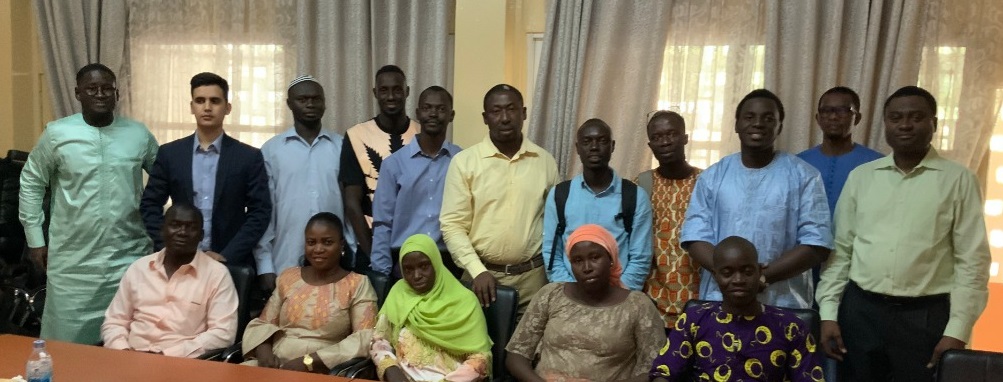
From March 6 to 7, a national meeting was held at the Béatrice Hotel in Kinshasa, Democratic Republic of Congo, to train local experts on the use of the ReSAKSS e-Atlas.
Several institutions working with agricultural data collection and GIS management took part to the meeting: the National Statistical Institute (INS, statistical authority of DRC), the Analysis Unit of Development Indicators (CAID) of the Prime Minister’s Office, the Central Bank of Congo (BCC), the Geographic Information system (GIS) of the Ministry of Agriculture, the World Resources Institute, the PGAI, the Directorate of Studies and Planning of MINAGRI, and the SAKSS.
The aim of this workshop was to form a core group of Congolese experts whose task will be to collect data from the base, analyze them, validate them and finally encode them in the ReSAKSS e-Atlas, thus providing decision-makers with reliable data and facilitating decision-making in agricultural development across the country. This e-atlas will facilitate access to a wide variety of data related to food production, distribution and consumption.
On Wednesday, March 8, a small working group of 3 GIS experts from the Technical Committee met at the Ministry of Agriculture with the National Coordinator of SAKSS, Prof. Mobula Victor, to discuss about the ways and means to be developed to ensure effective management of this tool, the electronic Atlas.
On Thursday, March 9, the Minister of Agriculture received, in his office, the IFPRI experts team and Professor Mobula Victor, National Coordinator of SAKSS-DRC, who reported to him the results achieved during the training and presented to him the prospects of this e-Atlas project in the DRC.
On Friday, March 10, a presentation of the e-Atlas was made at the headquarters of the World Food Program (WFP) by Dr. Abd Salam El Vilaly, Professor Mobula Victor and Mr. Mohamed Ahid, to explain to the Humanitarian Group of the UN the importance of this tool and how they can use it in their work and develop synergies with their respective GIS services.
A series of recommendations were made following these meetings, all of which are in line with the appropriation of the e-Atlas tools for the collection of reliable information and informed decision-making in the agricultural sector in the DRC.
At the 5th Malabo Montpellier Forum that took place in Banjul, the State of Gambia represented by Mr. Momo ...
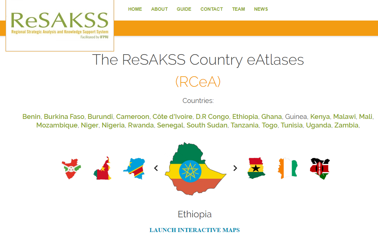
The eAtlas technical team finalized the development of i) a server for the online manipulation and preprocessing of data records, ii) an intuitive and rich web-based client application to support i ...
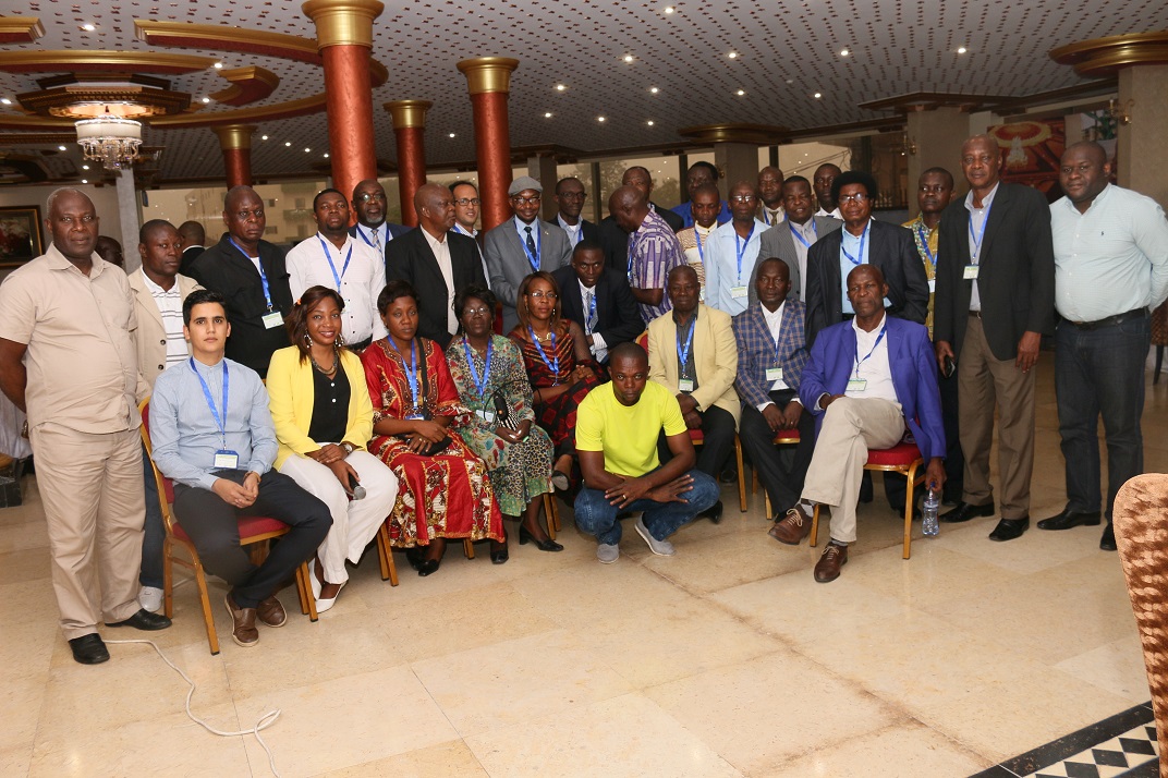
A ReSAKSS Country eAtlases workshop was held from 17-18 October 2017 in Dakar, Senegal. The workshop was an opportunity to introduce the new version of the ReSAKSS Country eAtlases and its associat ...